A natural region, home to a vibrant, innovative community
MRC Brome-Missisquoi strikes the perfect balance of natural beauty, great living and a thriving economy. Our region prides itself on preserving its natural resources, countryside and residential areas for future generations through sustainable regional planning.
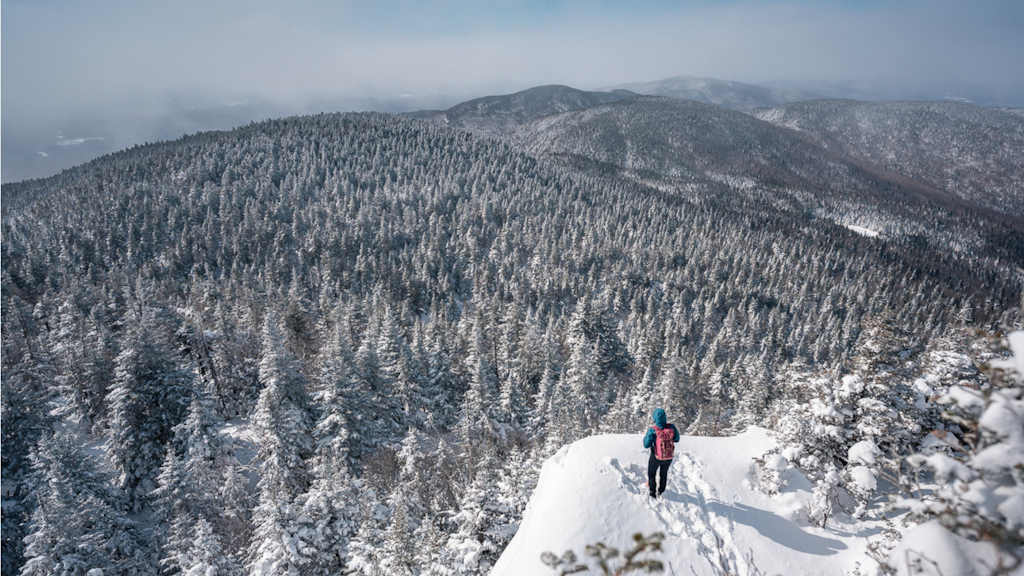
Locals and visitors alike love the region for its incredible nature, ideal for enjoying outdoor activities all year round.

The Charter of the French language and its regulations govern the consultation of English-language content. More details